File:Podilymbus podiceps 3484.JPG
Jump to navigation
Jump to search

Size of this preview: 799 × 599 pixels. Other resolutions: 320 × 240 pixels | 640 × 480 pixels | 1,024 × 768 pixels | 1,280 × 960 pixels | 1,565 × 1,174 pixels.
Original file (1,565 × 1,174 pixels, file size: 687 KB, MIME type: image/jpeg)
Summary
| Description |
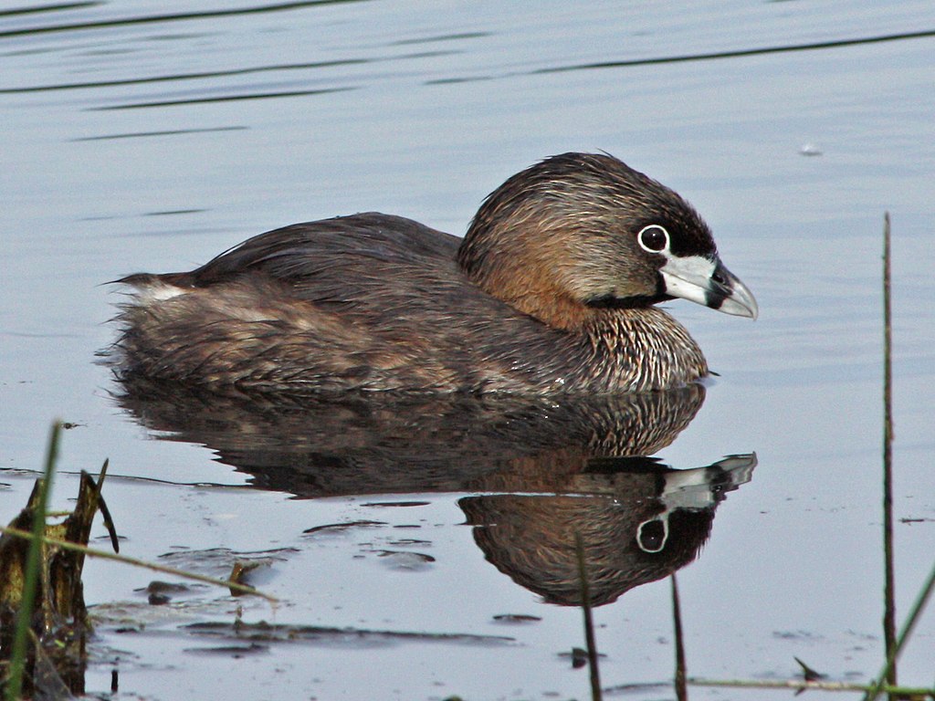
Podilymbus podiceps English: Pied-billed Grebe |
| Date | 23 June 2008, 08:21:48 −07:00 |
| Source | Own work |
| Author | Walter Siegmund (talk) |
| Camera location | | View this and other nearby images on: OpenStreetMap |
|---|
- Location source: Garmin GPSmap 60CSx
- Location Datum: WGS84
- Viewpoint location: nature trail, Union Bay Natural Area
- Viewpoint elevation: 6 meter (18 ft)
- Camera: Canon EOS DIGITAL REBEL XSi
- Exposure Time: 1/250
- F Number: f/11.0
- Focal Length: 280.0
- ISO Speed Rating: 200
©2008 Walter Siegmund
Licensing
I, the copyright holder of this work, hereby publish it under the following licenses:

|
Permission is granted to copy, distribute and/or modify this document under the terms of the GNU Free Documentation License, Version 1.2 or any later version published by the Free Software Foundation; with no Invariant Sections, no Front-Cover Texts, and no Back-Cover Texts. A copy of the license is included in the section entitled GNU Free Documentation License. |
This file is licensed under the Creative Commons Attribution-Share Alike 3.0 Unported, 2.5 Generic, 2.0 Generic and 1.0 Generic license.
- You are free:
- to share – to copy, distribute and transmit the work
- to remix – to adapt the work
- Under the following conditions:
- attribution – You must give appropriate credit, provide a link to the license, and indicate if changes were made. You may do so in any reasonable manner, but not in any way that suggests the licensor endorses you or your use.
- share alike – If you remix, transform, or build upon the material, you must distribute your contributions under the same or compatible license as the original.
You may select the license of your choice.
File history
Click on a date/time to view the file as it appeared at that time.
| Date/Time | Thumbnail | Dimensions | User | Comment | |
|---|---|---|---|---|---|
| current | 15:38, 22 April 2014 | | 1,565 × 1,174 (687 KB) | Wsiegmund | Adobe Photoshop Elements 11.0; 20% Auto Smart Fix, Adjust Lighting/Shadows/Highlights, Levels tools |
| 03:27, 12 July 2008 |  | 1,548 × 1,161 (494 KB) | Wsiegmund | Photoshop Elements; crop, autosmartfix, autocontrast tools | |
| 02:33, 12 July 2008 |  | 4,272 × 2,848 (3.42 MB) | Wsiegmund | {{Information |Description=Union Bay Natural Area |Source=Own work |Date=2008:06:20 |Author=Walter Siegmund (talk) |Permission=Own work, attribution required (Multi-license with GFDL and Crea |
File usage
The following page uses this file:
Global file usage
The following other wikis use this file:
- Usage on br.wikipedia.org
- Usage on de.wiktionary.org
- Usage on fr.wiktionary.org
- Usage on pt.wikipedia.org
- Usage on qu.wikipedia.org
- Usage on ru.wikipedia.org